

What is GeoHECHMS?
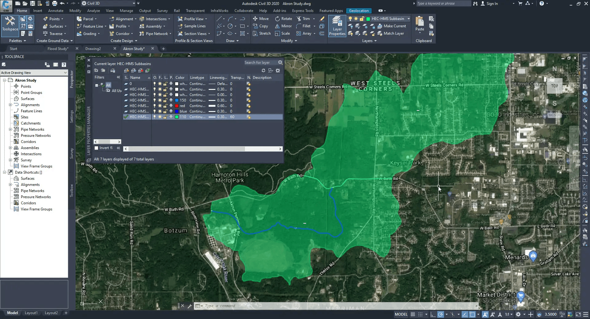
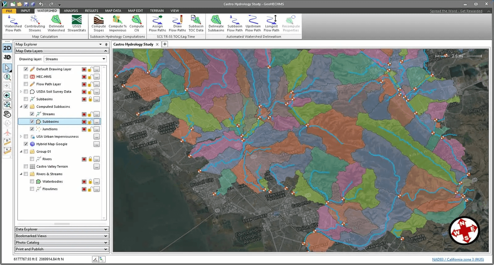
GeoHECHMS is a comprehensive software solution that expedites the development, analysis, and review of stormwater projects. As a data wrapper to the industry-standard HEC-HMS software from the US Army Corps of Engineers, GeoHECHMS offers an intuitive and user-friendly interface, seamlessly integrating with AutoCAD Civil 3D and ArcGIS to streamline the stormwater modeling process. The software's advanced features automate critical tasks, such as subbasin delineation, curve number (CN) computation using land use and soils maps, and lag time (time of concentration) calculation, significantly reducing the time and effort required to create, analyze, and review stormwater models. With the ability to quickly compare different scenarios and alternatives, including pre-development conditions and various post-development designs, GeoHECHMS empowers users to make informed decisions and optimize stormwater management strategies. The software's support for both US and metric (SI) units ensures versatility and flexibility, catering to the diverse needs of stormwater professionals worldwide. GeoHECHMS's comprehensive report generation capabilities further streamline the review and approval process, making it an indispensable tool for engineers, planners, and decision-makers in the field of stormwater management
Highlights
- Automated HEC-HMS Workflows
- AutoCAD Civil 3D & ArcGIS Integration
- Automated Watershed Delineation
- Detention Pond Design
- Purpose-Built Stormwater Design Tools
- Automated TOC & Lag Time Computation
- Automated CN Computations
- Comprehensive Report Generation
Features
Email/Help Desk
Phone Support
Chat
Live Online
24/7 (Live rep)
Knowledge Base
Videos
Documentation