

What is GeoHECRAS?
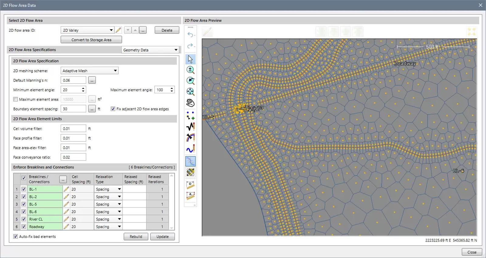
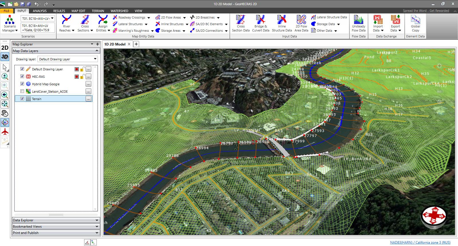
GeoHECRAS is a comprehensive river modeling software that enables users to compute water surface profiles for a wide range of hydrological scenarios, including steady and unsteady flow models, bridge and culvert roadway crossings, FEMA floodplain encroachments, stream restorations, inline reservoir structures, and off-channel storage areas. The software offers a user-friendly, single graphical platform that streamlines the process of creating high-quality HEC-RAS models and stunning 3D visualizations from various data sources, such as AutoCAD, MicroStation, ArcGIS, and Google Maps
Highlights
- Rapid construction of 1D and 2D HEC-RAS models
- Automatic assignment of land cover as Manning's roughness
- Digital terrain cross-section cutting
- Automated bridge and culvert sizing and designing
- Automated FEMA floodplain encroachment analysis
- LiDAR elevation terrain processing
- Automated model calibration
- Compatibility with AutoCAD, MicroStation, and ESRI ArcGIS
- 100 compatibility with the US Army Corps of Engineers HEC-RAS
Platforms
- Desktop Mac
- Desktop Linux
- Mobile Android
- Desktop Chromebook
- Windows
- Mobile iPhone
- Cloud, SaaS, Web-based
- Mobile iPad
- Desktop Windows
- On-Premise Windows
- On-Premise Linux
Languages
- English
Social
Features
Email/Help Desk
Phone Support
Chat
Live Online
24/7 (Live rep)
Knowledge Base
Webinars
Videos
Documentation