
What is On The Go Map?
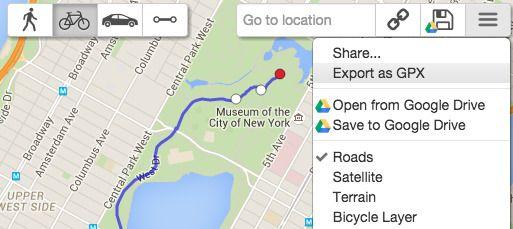
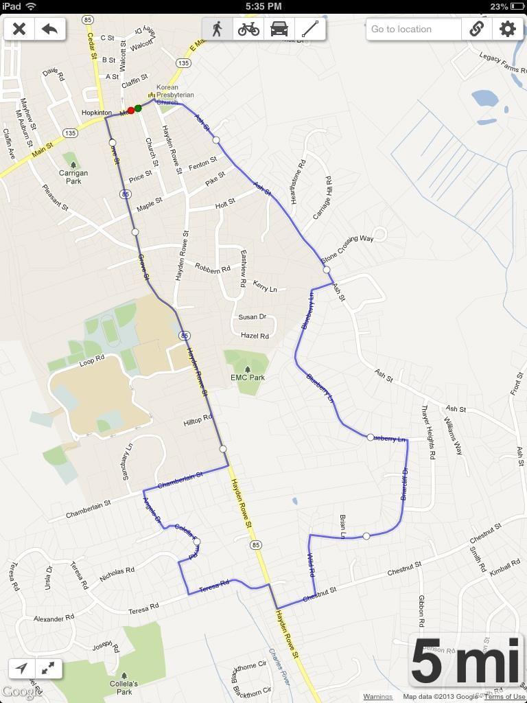
Map a route for any outdoor activity, whether it's running, cycling, kayaking, or beyond. Plot your path on a map from your phone, tablet, or computer, then save, share, and export the details. Click or touch points on the map to build your custom route, switching between walking, biking, driving, or point-to-point modes. Double-click or double-tap a point to loop back to it, and view the elevation profile of your planned journey. Save your route to Google Drive, generate a shareable link, or export the data as a GPX file to embed on a website
Highlights
- Map routes for a variety of outdoor activities, including running, cycling, and kayaking
- Plot your path by clicking or tapping points on a map from your mobile device or computer
- Switch between walking, biking, driving, and direct routing modes
- Double-click or double-tap to loop back to a point in your route
- View the elevation profile of your planned journey
- Save your route to Google Drive, generate a shareable link, or export as a GPX file
Platforms
- Online
Languages
- English
Features
Route Planning